Chester Racecourse
Aerial survey and 3D model to support the early design stages of this significant redevelopment project at Chester Racecourse
Aerial Survey For A Major Venue Redevelopment
As part of a new building development within the racecourse, Chester Race Company & Lovelock Mitchell Architects required a comprehensive and highly detailed 3D model of the site for visual representation and context, as well as a dimensionally accurate 3D mesh model of the site for use in their design software, to aid the design process.
Bryant Site Services was appointed to carry out a comprehensive aerial-mapping survey, focusing on capturing high levels of detail around the many buildings and structures.
Project requirements
The primary objectives of the project were:
- Create a highly detailed 3D mesh model of the racecourse site
- Capture high-definition images of the site for use in specialist photogrammetry software
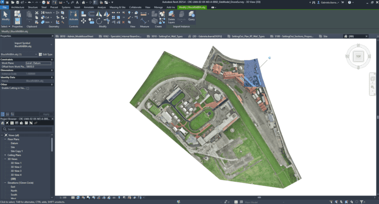
- Provide the model in various file formats to ensure compatibility with Revit software
- Upload model to an online viewing platform for the client to view the model easily
- Complete the project without disruption to the site
Methodology
- Planning and safety assessment: Prior to the aerial survey, a full safety and risk assessment was conducted to ensure compliance with all necessary regulations. This step was essential given the location and proximity of the site to public areas. The survey was conducted ‘out of hours’ to minimise potential risks.
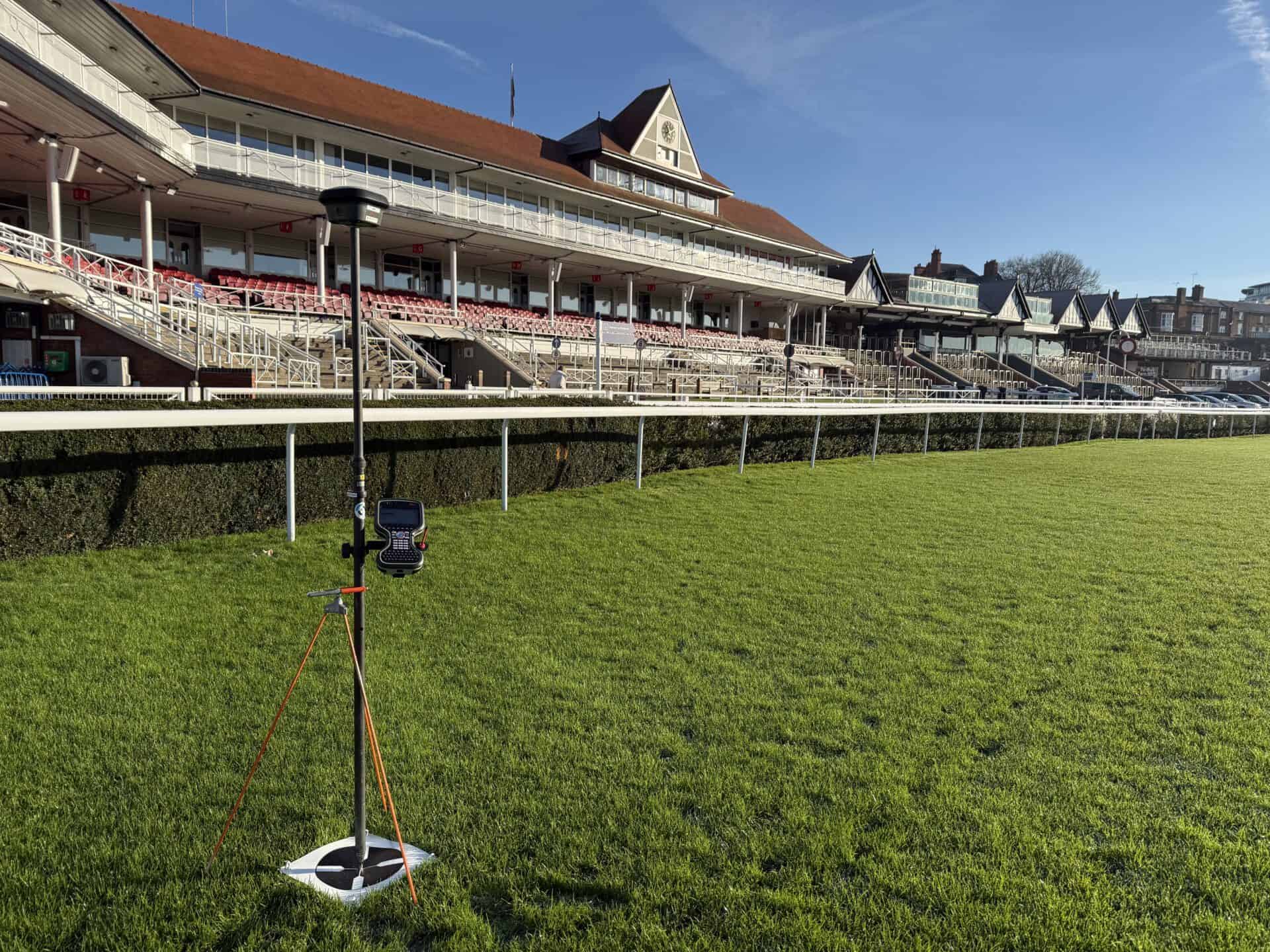
- Survey control: A ground based survey control network was established using GCP’s (ground control points) to ensure dimensional precision.
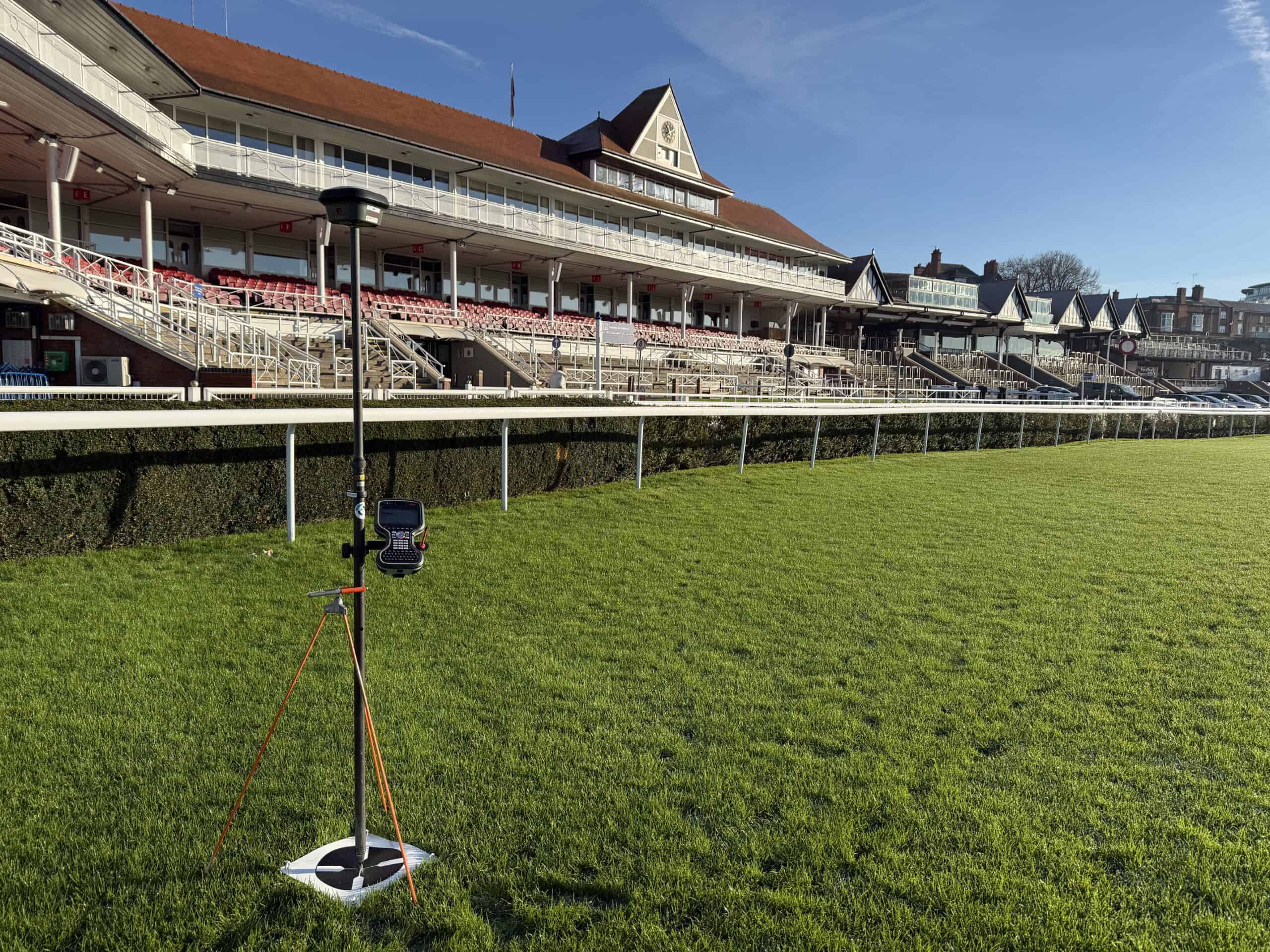
- Drone deployment: Bryant Site Services used drones equipped with high definition cameras as well as RTK GNSS receiver to capture precise images and geodata of the racecourse buildings and open areas. The drones were set to a pre-determined flight area within a geo-fenced perimeter to ensure the flight remained confined within the survey area.
- Data processing Once the data had been collected on-site, it was firstly processed in photo editing software to enhance the images. Then using specialist photogrammetry software, the images are ‘stitched’ together, scaled and adjusted to tie-in with the surveyed GCP’s. It was then exported to the various file formats specified.
Results
Bryant Site Services drone survey provided Chester Race Company & Lovelock Mitchell Architects with an accurate, geolocated and dimensionally precise 3D model which was used to aid the design process, provide visual and spatial context to the client.
The project successfully demonstrated how aerial-mapping & 3D modelling can provide valuable solutions to aid design, provide visual context and give an overview for spatial planning.
What the client said:
‘The model produced by Mike for the Chester Racecourse has been an extremely valuable tool throughout the development of our project. The survey has given us a much better understanding of the site context than would normally be possible through conventional topographical surveys alone, particularly in relation to differential site levels, the accurate positioning and condition of existing buildings, and the surrounding areas across the Racecourse.’
‘It has also allowed us to clearly identify existing services infrastructure, accurately assess the true heights of surrounding buildings, and to identify discrepancies with conventional topographical surveys. The level of detail has been especially useful when overlaying our design proposals onto the surveyed environment and understanding the wider context of the scheme.’
‘As well as supporting the design process internally, the model has been a very effective communication tool when working with clients, contractors, and manufacturers. It has helped us explain not only the physical context of the project, but also the constraints and limitations that the proposed works will need to respond to.’
‘Overall, the survey has improved both the design development and coordination process for the Chester Racecourse project. The level of detail, accuracy, and flexibility provided by the model has given us a much clearer understanding of the existing site conditions and constraints, helping to support more informed design decisions from an early stage.’
Gabriela Ibarra – Lovelock Mitchell Architects
Project details
Services delivered
What we delivered
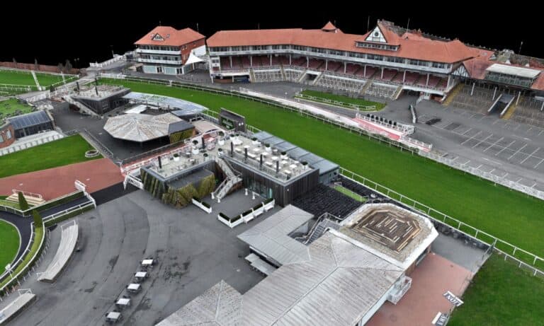
Highly detailed 3D model for site visualisation
Unrivalled site context, an effective communication tool when working with clients, contractors, and manufacturers
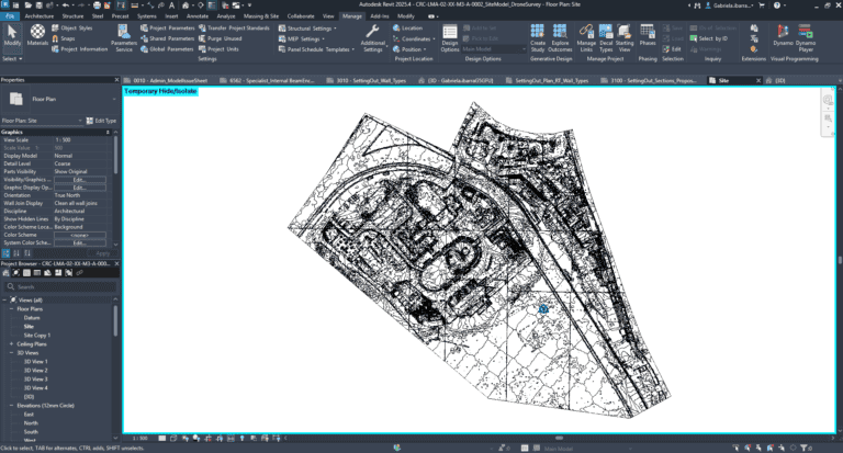
Integration with Revit & Blender
Import & integrate with design software, assisting with design development
Easily identify & assess existing site features
Identify existing services infrastructure, accurately assess the true heights of surrounding buildings, identify discrepancies with conventional topographical survey
Project Imagery