Progress Monitoring & Reality Capture
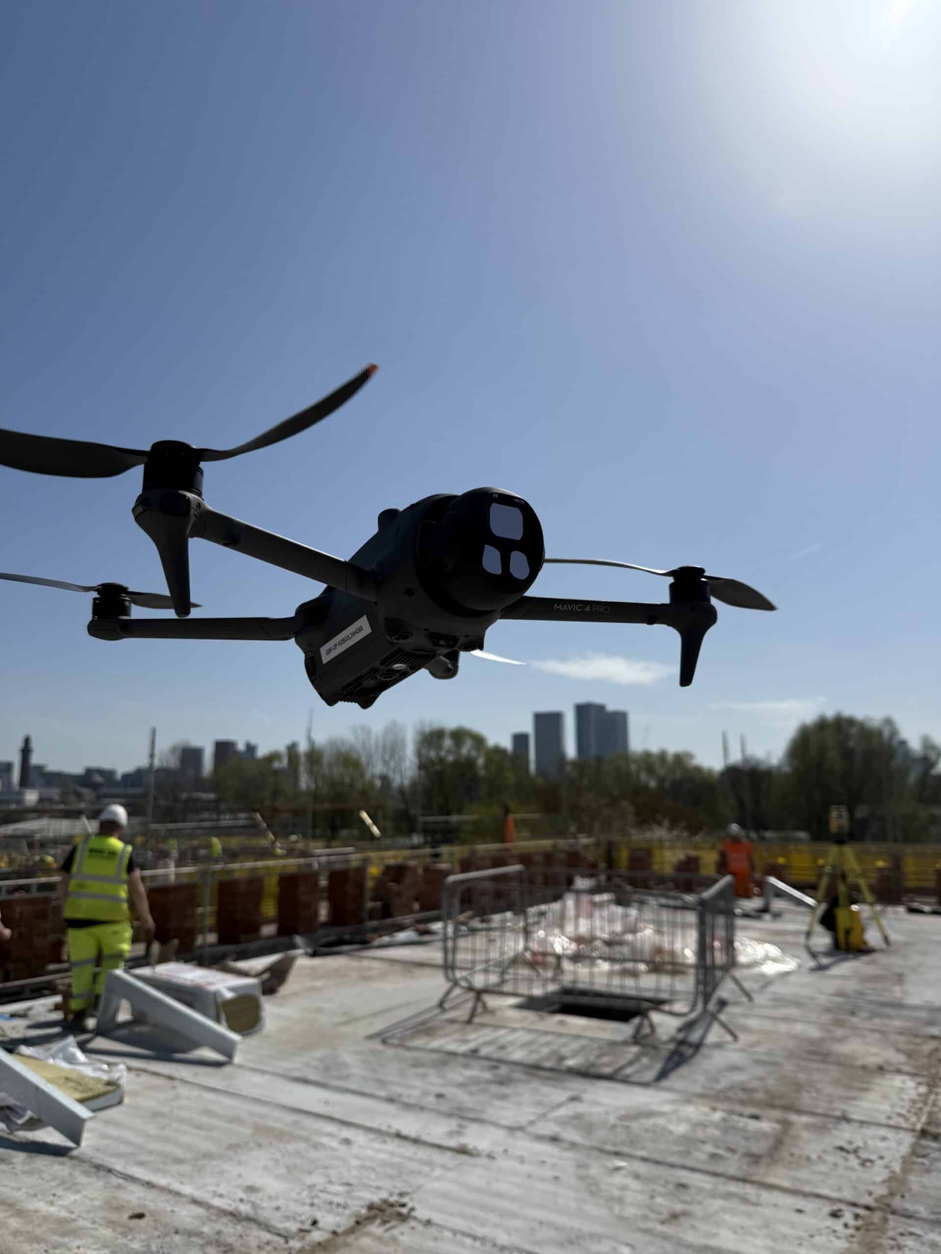
Bryant Site Services provides aerial progress monitoring, 3D reality capture and reporting to help clients track construction progress throughout the project from start to finish
3D Reality Capture of your site
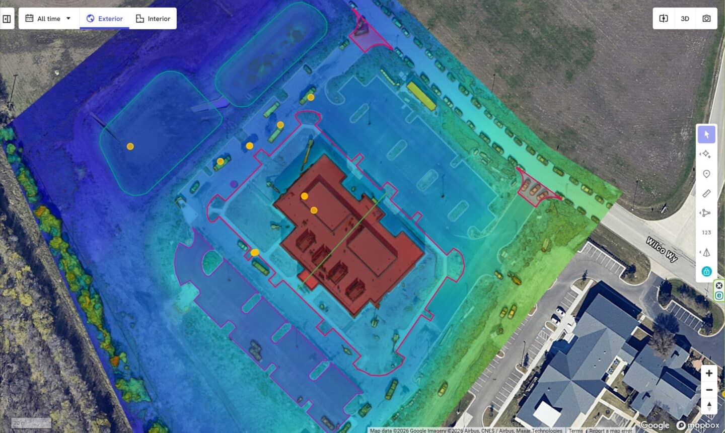
Reality-capture based monitoring – we capture aerial site data to create repeatable, accurate 2D maps and 3D-models. Use these models to track your site:
- Track progress weekly or monthly
- Provide client and stakeholder updates with their own online viewer login – aerial views and 360 walkthroughs
- Overlay .pdf and .dxf plans
- Create live, measurable site plans for logistics, planning, site inductions
- Record As-Built information and compare to the design in seconds
- Repeatable aerial photos to create a timelapse of your project
Exportable deliverables include Orthomosiac maps, 3D point clouds, digital surface models, volumetric measurements and progress reports.
Get in touch for more information or book a demo
Monitoring Projects From Start to Finish
Slide the Carousel on the right to view progress
We capture data from the pre-construction phase right through to project completion. We will initially overlay site plans onto our models to give site teams a much greater understanding of the site layout, this can assist with planning, logistic, and spotting issues before you even get on site!
During the construction phase we set our survey drone to a repeatable, automated route to capture progress at regular intervals, compare and record progress month-by-month, evaluated material volumes, and provide updates to clients and stakeholders.
On completion your will have a full site record of progress as well as detailed As-Built information, available at your fingertips within seconds.
Accurate & Consistent Reporting
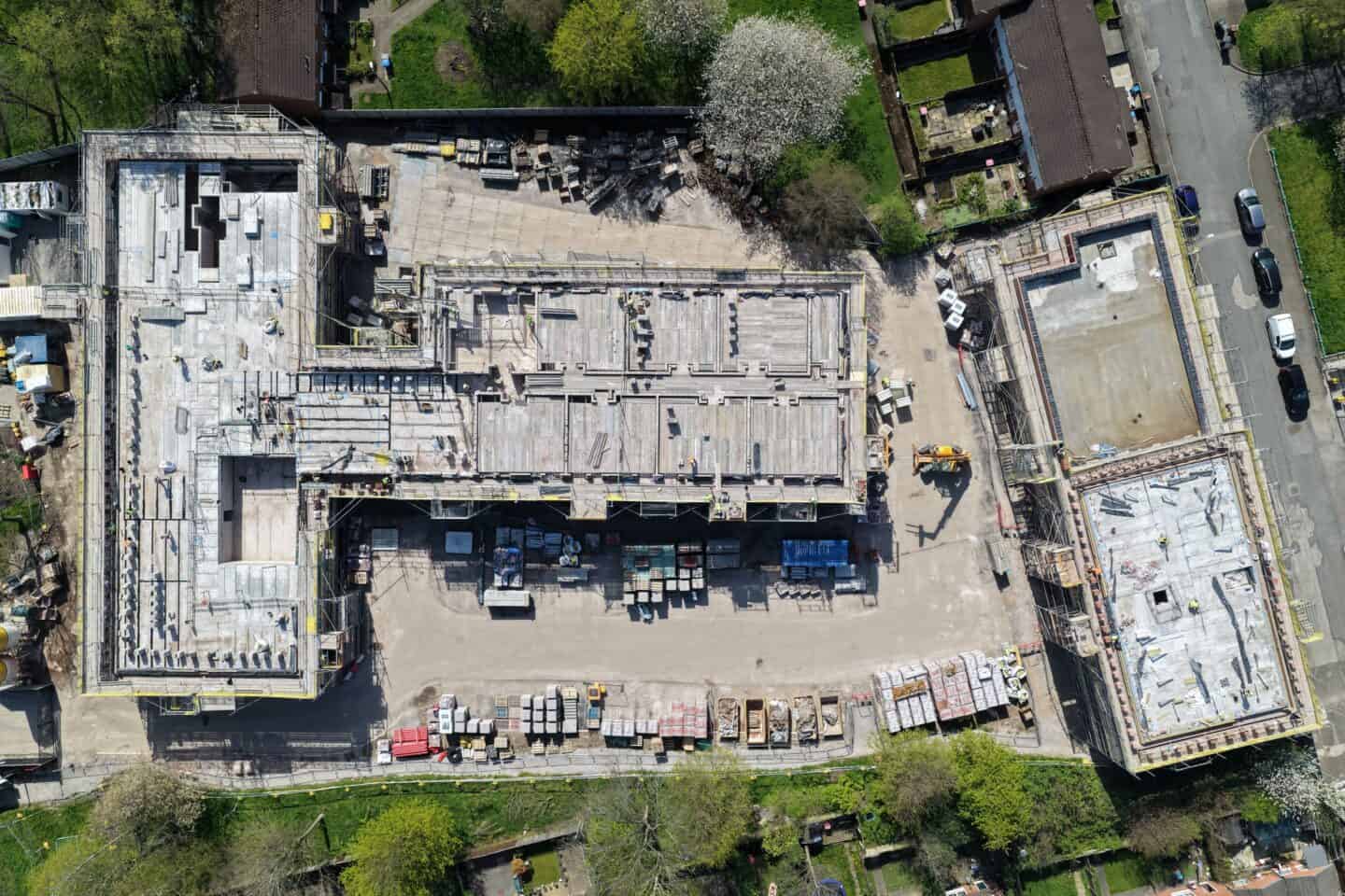
By capturing aerial imagery and mapping data at regular intervals, we help clients monitor volume changes, track construction milestones, and produce clear reports that support planning, communication, and project management throughout the life of a project.
At Bryant Site Services, all operations are planned and carried out by a CAA Certified Drone Operator, ensuring every visit is safe, efficient, and minimally disruptive to your site.
Before & After
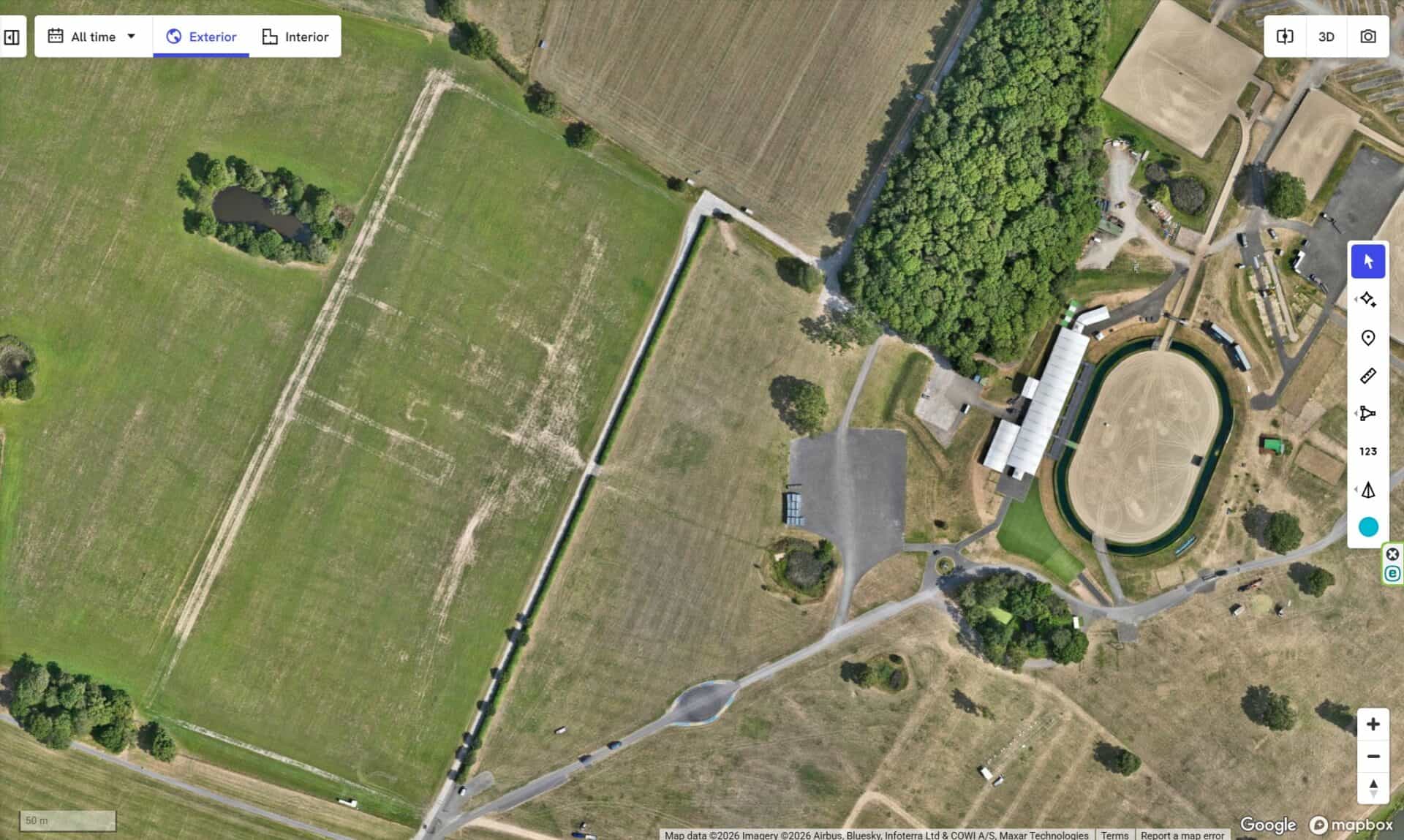 Before
 After
After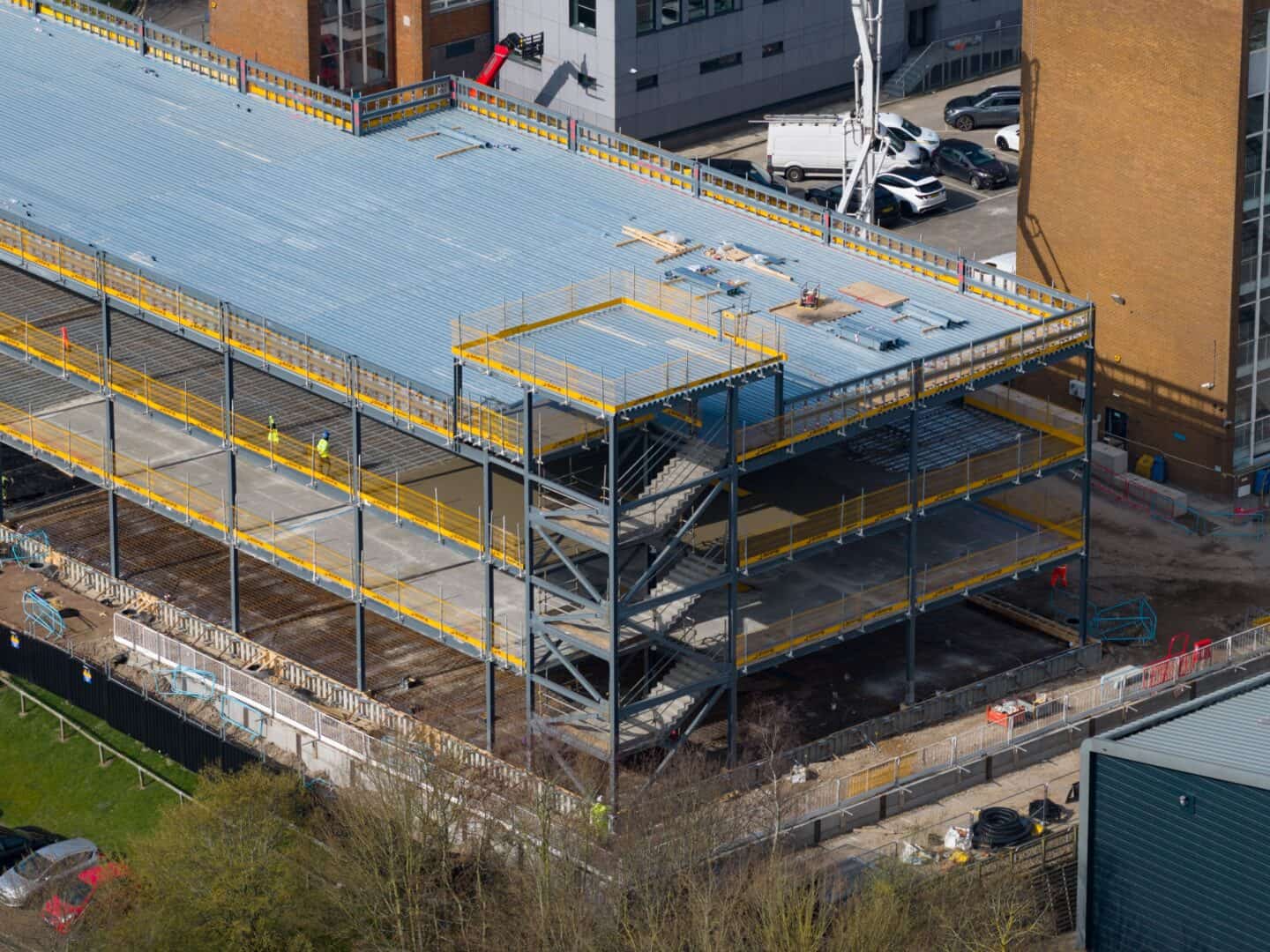
Aerial Progress Photography
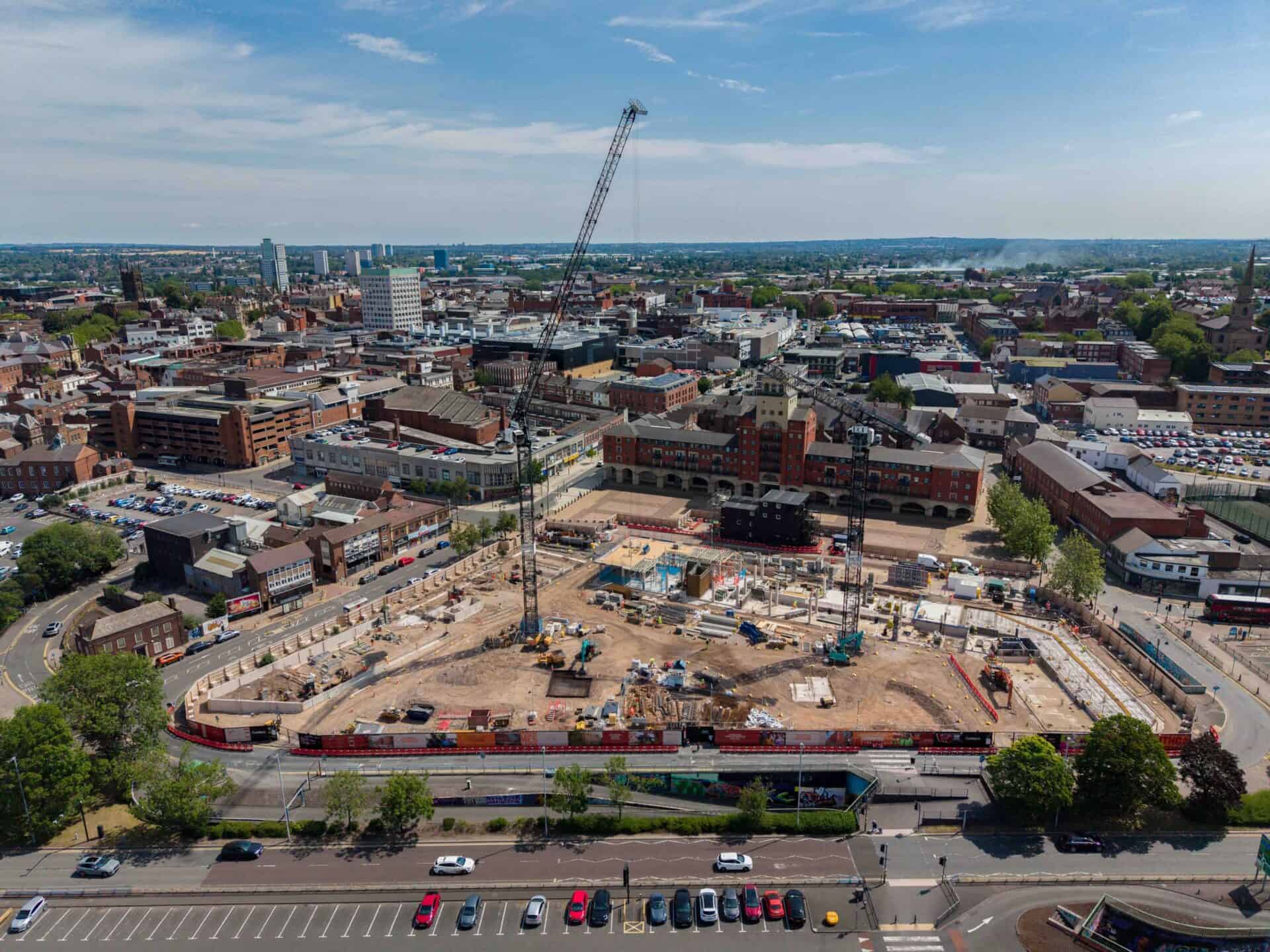
We provide regular aerial photography and reporting throughout the construction programme, giving clients, contractors, and project managers a clear visual record of site progress at every stage.
Our progress monitoring services support:
- Site progress updates
- Before-and-after project comparisons
- Milestone documentation
- Stakeholder and investor reporting
- Marketing imagery for completed developments