Aerial Mapping & 3D Modelling
Bryant Site Services Ltd produces 2D orthomosaic maps and 3D models for our clients, using the latest survey-grade drone photogrammetry technology.
2D Orthomosiac & 3D Models
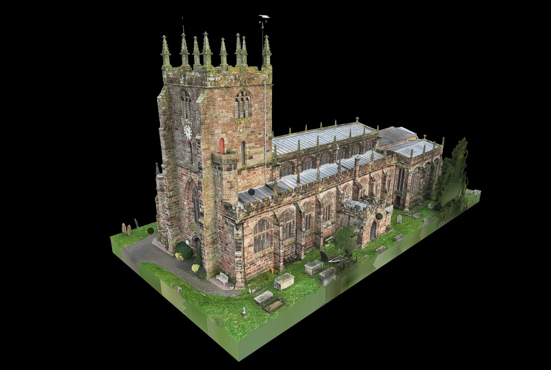
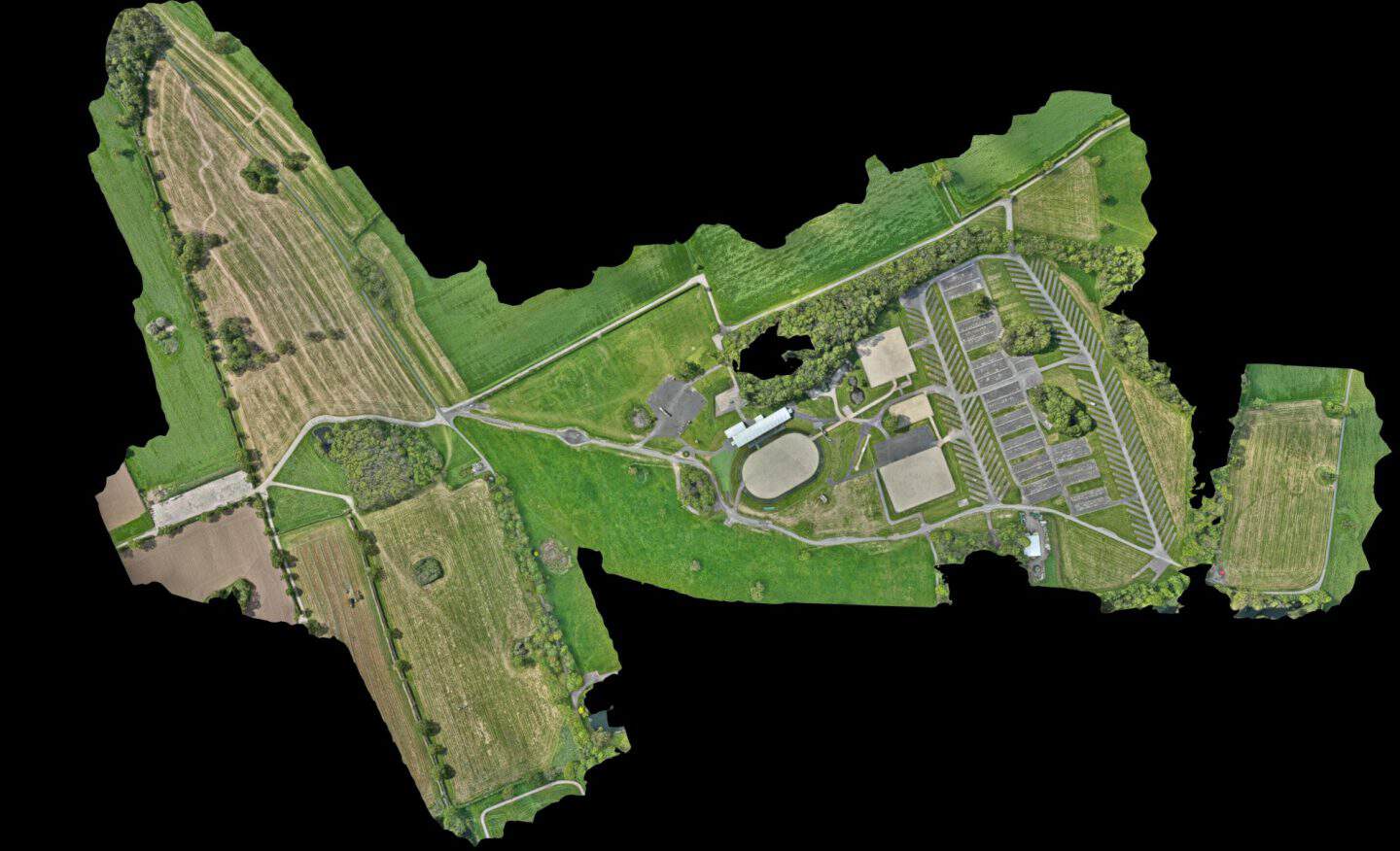
Bryant Site Services produces 2D Orthomosiac maps and 3D models for our clients using photogrammetry — stitching together numerous overlapping images, along with their positions and angles from geo-positioned data, to produce a large-scale 2D or 3D image of an area or subject.
These models can be viewed conveniently on a laptop or phone, giving clients an accurate, accessible way to understand a site without needing to visit in person.
Our detailed maps and models provide:
- Exceptional site visualisation and context
- Highly detailed building & asset inspection
- Dilapidation records
- Produce defect reports
- LAS and OBJ files can be imported directly into design software

Centimetre-Accurate RTK Mapping
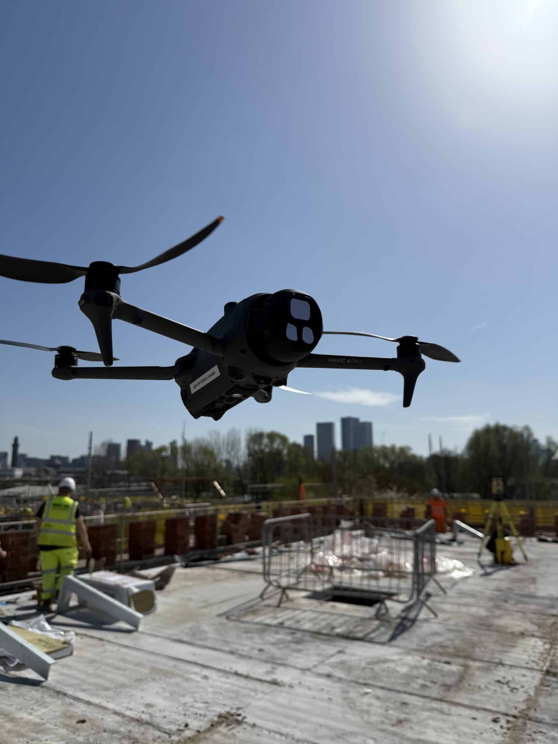
We fly survey-grade drones equipped with high-resolution cameras to collect aerial imagery for a wide variety of commercial photogrammetry mapping uses, achieving centimetre accuracy with RTK positioning and ground tie-in points or ground control points (GCP’s).
This allows us to measure and map large, complex, and hard-to-reach areas such as buildings, earthworks projects, quarries, and construction sites, quickly and safely.
Our highly detailed models are uploaded to an online viewer for the client to use quickly and securely.

Point Clouds & Digital Terrain Models
Using specialist mapping software, we produce 2D photo-mosaics and 3D digital models in the form of geo-referenced orthomosaics and point clouds.
This data can be used to calculate length, area, volume, cut/fill, and elevation, giving clients detailed, accurate information to support planning and decision-making.

Track Change Over Time
By comparing survey data captured on different dates, we can help clients monitor volume changes, earthworks progress, and site development over time.
This makes our aerial mapping and 3D modelling services a valuable tool for planning, reporting, and project management throughout the life of a project.
More From Our Portfolio