Case Study
Bolesworth Estate
80 hectare aerial land survey
The Project
Aerial Survey Land Condition Assessment
Bryant Site Services was appointed to carry out an 80 hectare survey at Bolesworth Estate, before and after a large scale outdoor event being hosted on the land.
Project requirements
The primary objectives of the project were:
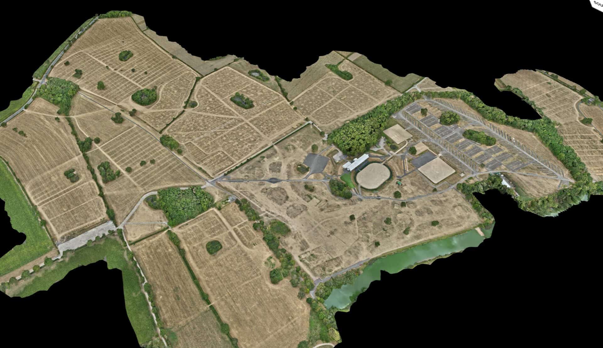
- Create a highly detailed before and after 2D Orthomosiac map of the site
- Upload the surveys/models to an online viewing platform for the client to view the imagery and compare surveys before and after
- Complete the surveys within specific time periods
Methodology
- Planning and safety assessment: A full flight plan, RAMS, safety and risk assessment was conducted to ensure compliance with all necessary regulations.
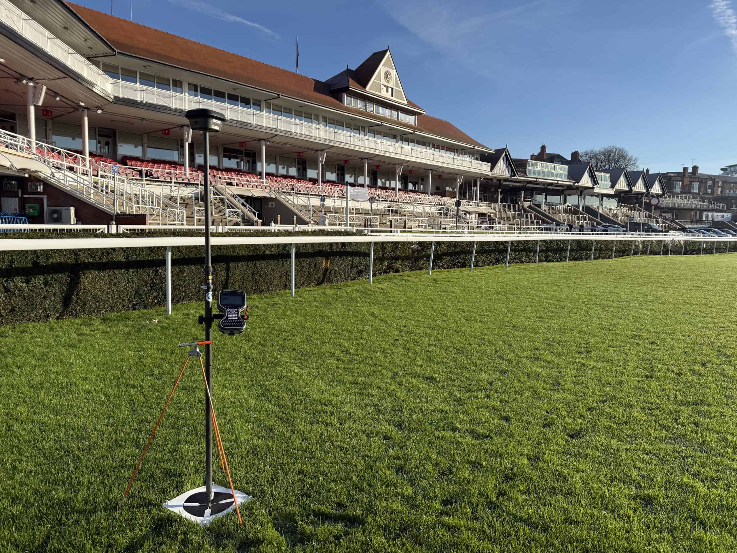
- Drone deployment: RTK survey-grade drone used capture precise images and geodata of the estate. The drone was set to a pre-determined flight path to ensure accuracy, consistency and repeatability between the two sets of data.
- Data processing Once the data had been collected on-site, it was firstly processed in photo editing software to enhance the images. Then using specialist photogrammetry software the images are processed to create a single large, detailed map of the site.
- Online viewer The models are uploaded to our online viewing platform
Results
The client was provided with easy access to the two surveys which sit side-by-side for a straightforward comparison, allowing the client to make informed decisions on any remedial action needed to the land.
Project details
Client Bolesworth Events Ltd
Location Bolesworth Estate, Cheshire
Duration 2 site visits
Year 2026
Services delivered
The Project
Project Imagery