Case Study
Ellesmere Port Golf Club
Aerial flyovers & detailed Orthomosiac map
The Project
Aerial flyovers & Orthomosiac Map
Project requirements
The primary objectives of the project were:
- Produce cinematic aerial flyovers of each hole, with hole information visuals, for use on the golf course website
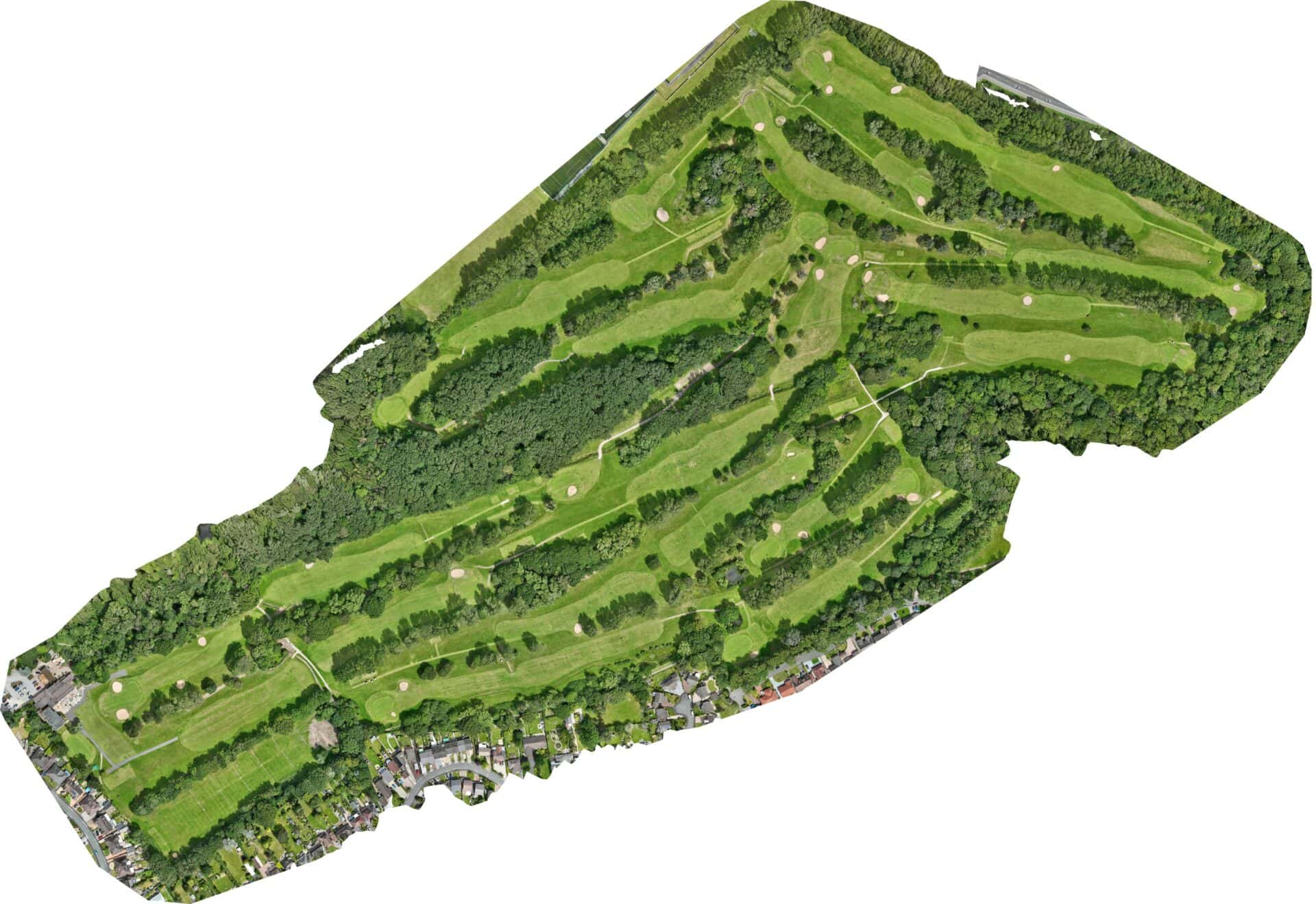
- Create an aerial map of each hole, which can be printed onto the golf course signage boards for each hole
Methodology
- Planning and RAMS: A full flight plan, RAMS and safety and risk assessment was conducted to ensure site safety and compliance with all necessary regulations. The work was carried out doing a quiet period at the golf course.
- Drone deployment: We used two models of drone for this project – the DJI Mavic 4 Pro to capture cinematic footage of the course, and the survey-grade DJI Mavic 3 Enterprise to capture the 2D Orthomosiac imagery.
- Data processing: Cinematic footage was edited in our Adobe software, while specialist mapping software was used to create the detailed map. The map was then cut down into individual images of each hole.
Outcome
The client received all 18no. videos of each hole within 1 week, as well as all high resolution mapping imagery to be used on the course signage.
Project details
Client Ellesmere Port Golf Club
Location Cheshire
Duration 1 day
Year 2026
Services delivered
The Project
Project Imagery